Summary
A good hill day with reasonable weather, nice Lakeland views and route with a bit of everything – nice ridge, good Lakes and a bit of off roading. Only downside was no exposed or scrambly bits! Nice that it was a circular route though – making the admin a lot easier!
Walkers: Just the two of us…
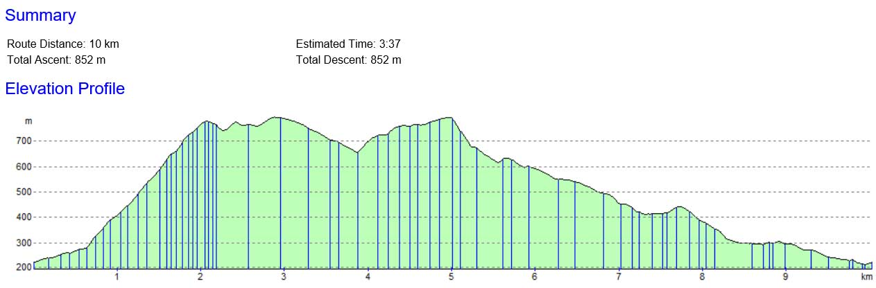
Approx walking time: 4hrs 25 mins
Height climb estimate: 852m
Distance estimate:10km
Breaks: Only briefly at the summit for photos and to goto the loo!
Interesting things: A new route we haven’t taken up to the Old Man Summit and then off to Swirl How (something we’ve want to do for a while). Nice to see Levers Water reservoir and have a look at some of the mines and caves. Also interesting to see the remnants of the quarry.
Scores (out of 5):
Nav Difficulty: 2 – some fun and games with the non-existent path up the front of the Old Man – would be hard in poor weather but with good compass work and timing would be fine
Exposure: 1 – no exposure, in poor weather though you would be very exposed to a brisk westerly wind
Weather: Fair
Fun: Some good banter
Cake: Didn’t have time for a proper cake stop, but peppermint and caramel slices from the newsagents went down well in the car …. Lasted to Ambleside….. maybe…

Full Details:
Parking
Options in the town or on Walna Scar Road at GR SD289 970 – not sure it’s entirely official but was quite busy. Saves the walk up from the town (have done this before and the only enjoyable thing would probably be the FitBit step you would get from it!). Room for approx 25-30 cars. Saves about 250m climbing from the valley bottom.
Get there early to avoid disappointment as on the way down it was busy. Would be much more room to park if there wasn’t a permanent flood. The road is interesting; make sure you get a good run up as you come off the main road, especially if you’re in a big vehicle. The minibus (maybe military) in front of us was obviously a pro. Be careful on the road in as its very much one way. Go through the gate and the parking area is there.
Locality
Some nice shops in Coniston, basic kit stuff and some good café’s. We didn’t stop in Coniston this time as we had to head back south – but had a decent sausage roll and some slabs of cake from the newsagent. BP garage for fuel. Would imagine exploring Coniston Water would be a good day out.
Weather
The morning was ropey to say the least. Not quite the weather you would expect in Lakeland August (or is it??). Rainy and fairly grim on the trip over from Ambleside. The big downpour as we arrived didn’t help morale getting out of the warm car, but we eventually made a start in waterproofs. Not needed in the end as it was a fine day. MWIS was true to its word – it did indeed get better as the day went on.
Cloudy but clear, not too hot and layered by as we were exposed to the wind just after we left the quarry at about a height of 550-600m. Wind was mild but gusty at times, no rain on the walk at all which was a nice surprise and a good rest for my fairly rubbish waterproof trousers…..
Route
Starting from the car park area, head along Walna Scar road following a clear track. There will be probably be some people around as the valley route further up via Goat’s Water is fairly popular. Turn right where a small tarn (on the 1:25 but not 1:50 OS maps) meets the track up to the quarry… there is a makeshift sign.
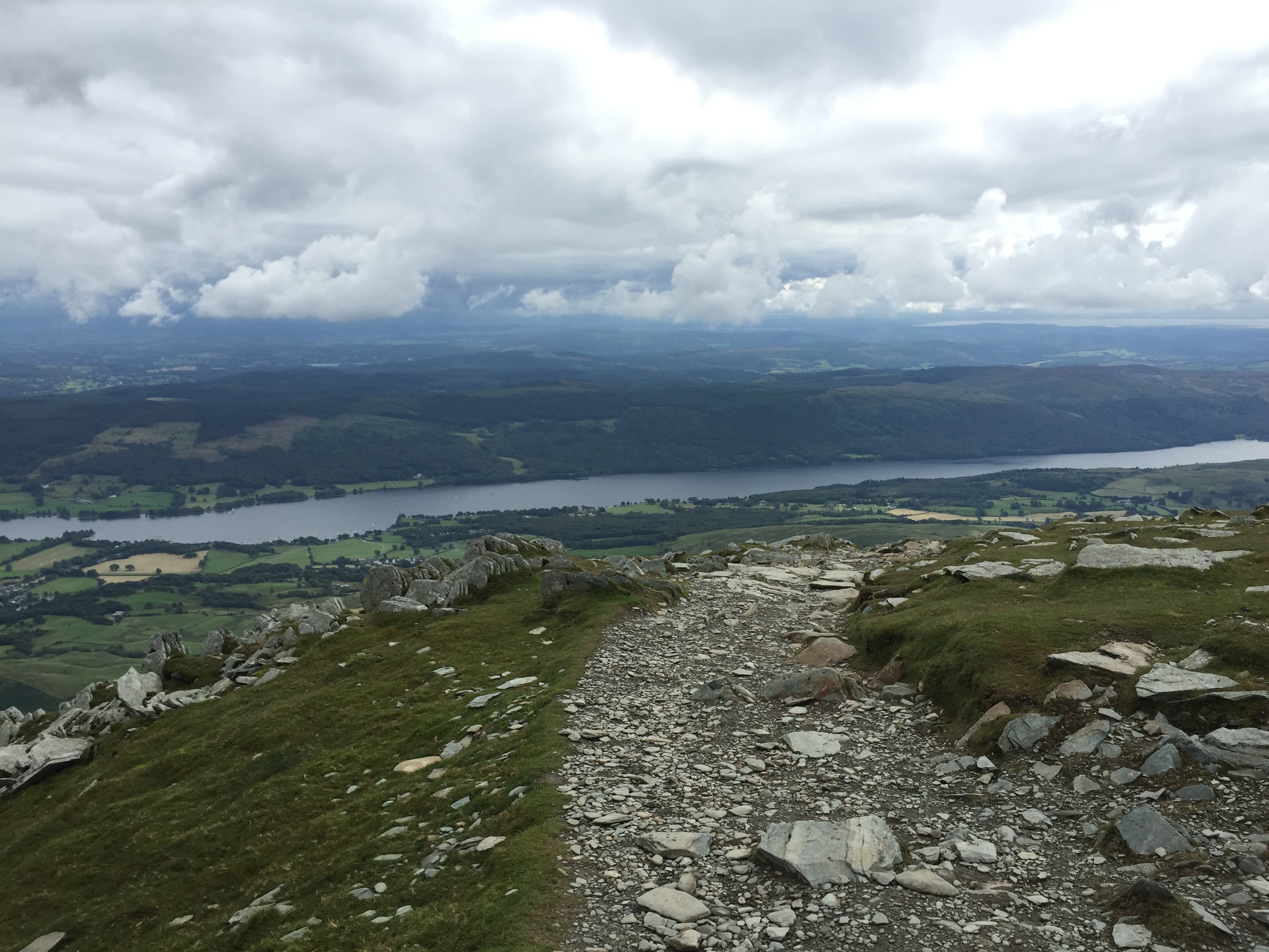
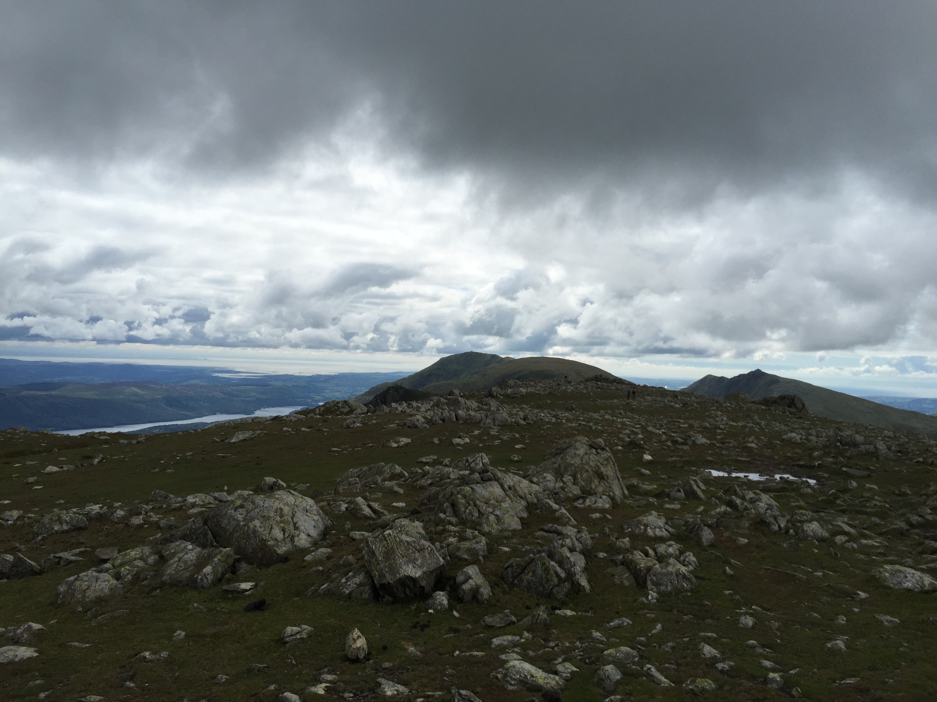
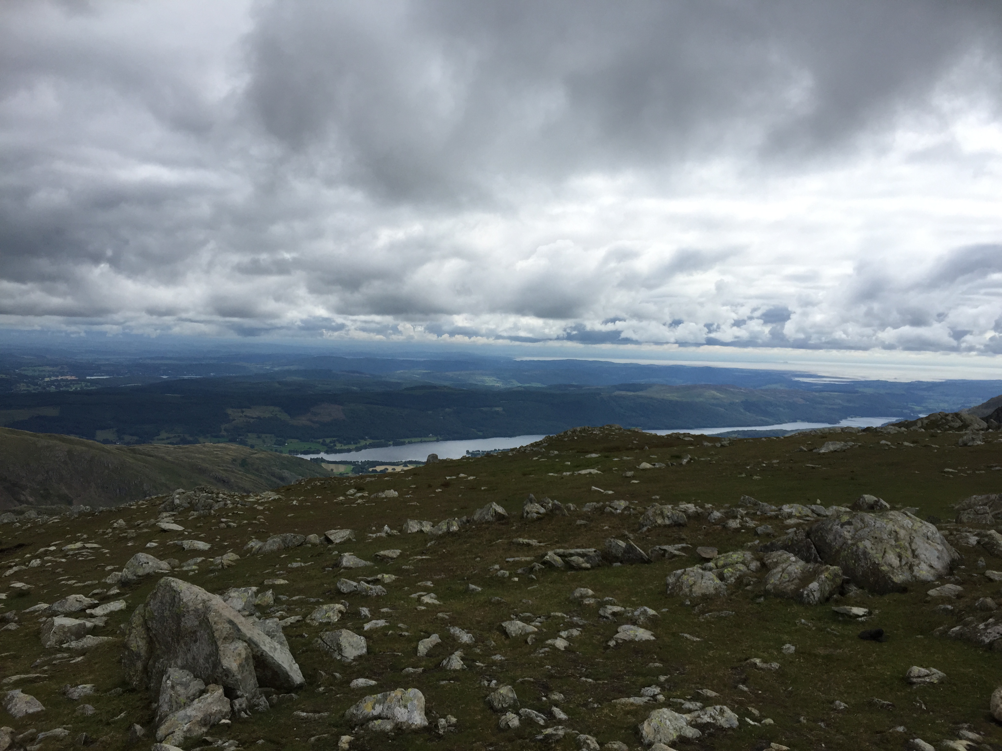
Head up the faint path which will is faint to say the least, eventually some good views open up below to Coniston Water if the weather is good.
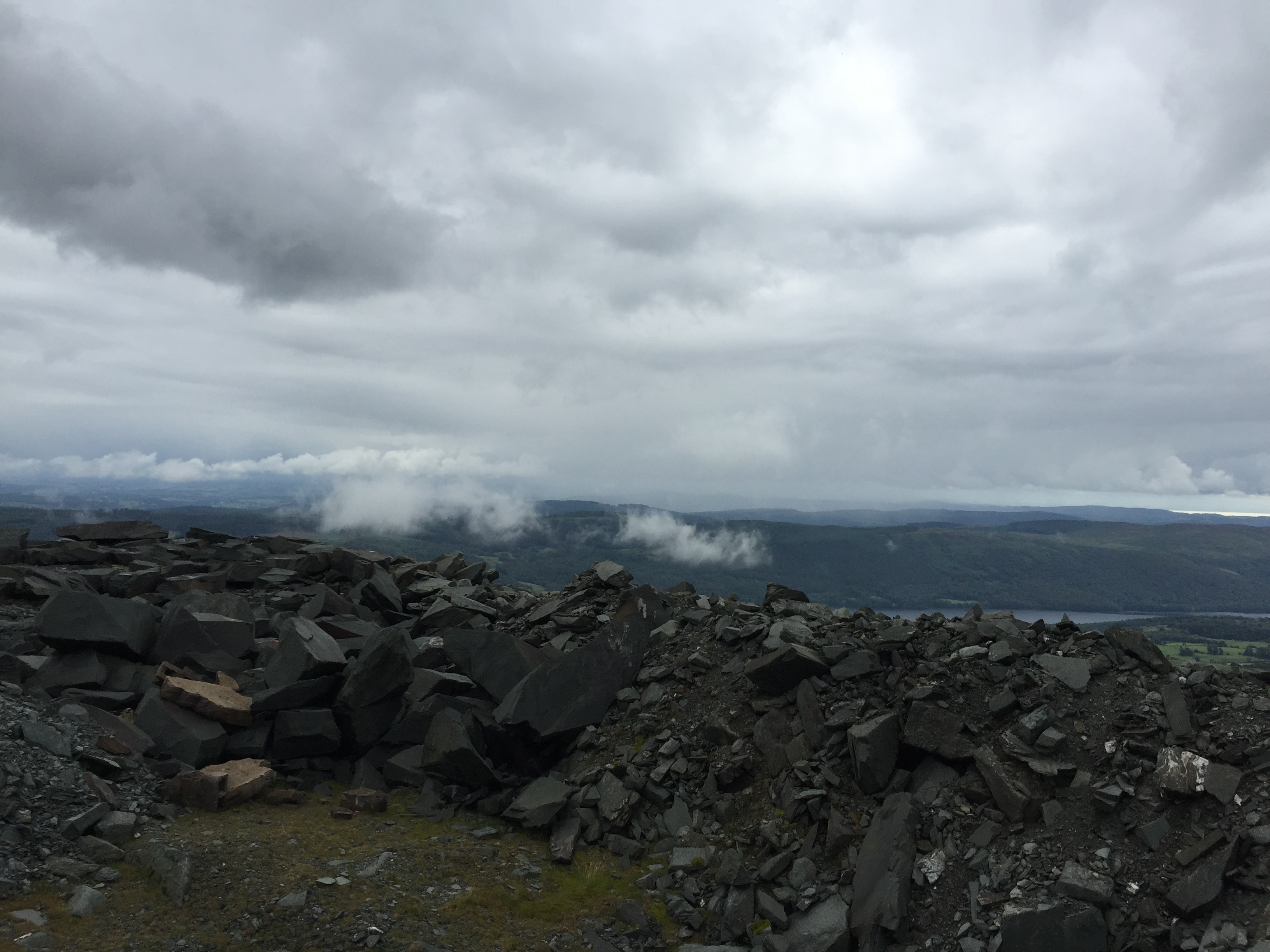
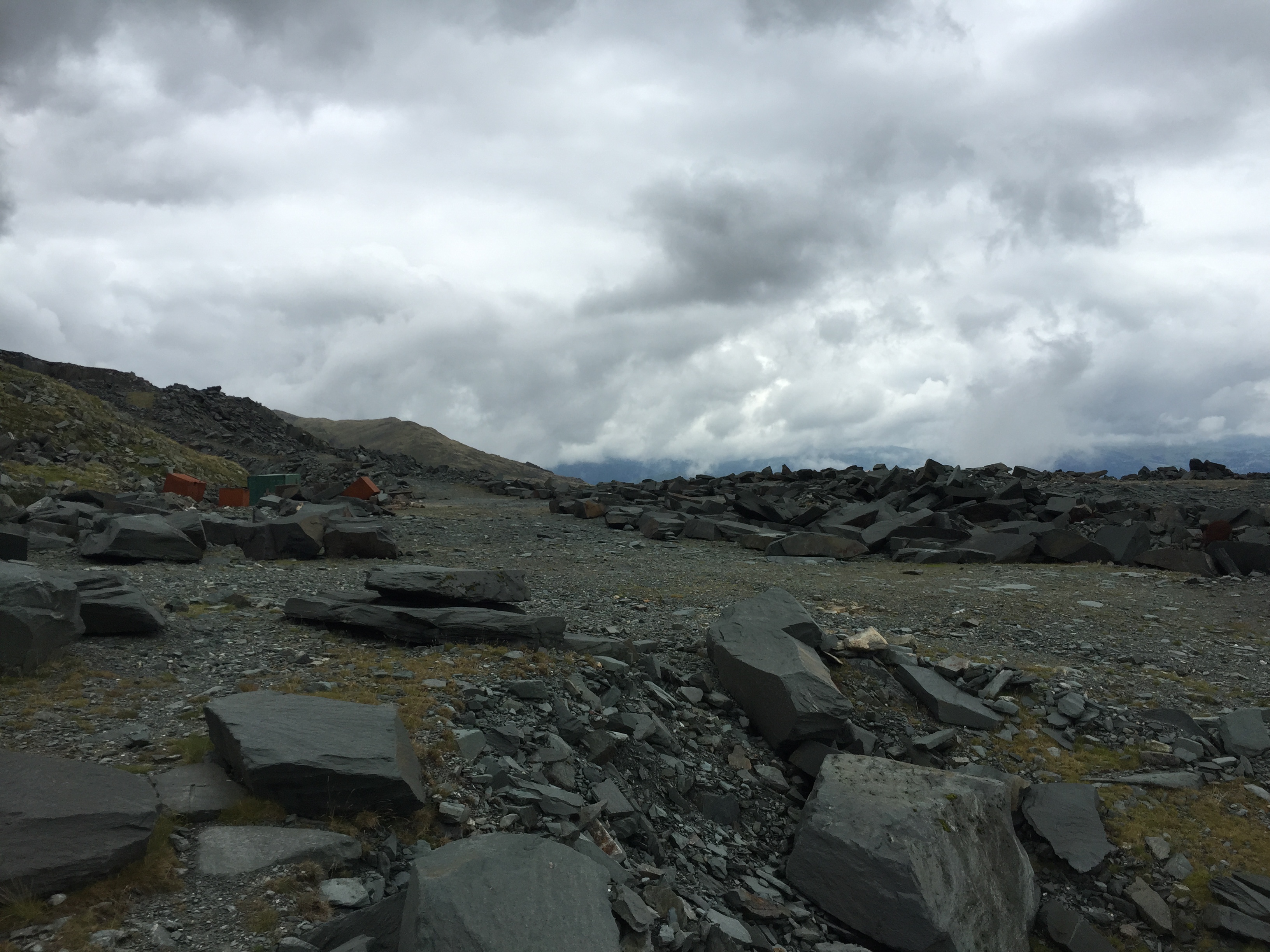
There are several streams on the way up – and you should be able to see the quarry levels – they are not as level as the contours on the map first suggest. There are various things to look at on the quarry levels – old storage containers and huge piles of slate/rock that has been left from the mining activities. Well worth a quick look.
From there we tried to follow the track or feasibly where it was meant to be. It wasn’t obvious so after a short bearing we headed up, hoping to find the small tarn marked on the 1:25 OS maps which we did! We then headed up in the general direction of the path.
The path at this point is really non-existent and we ended up weaving away up on to the plateau at SD274 974, it was steep but not exposed and relatively easy.
At this point it was time to layer up as the wind from the valley below meant we were slightly more exposed to the weather.
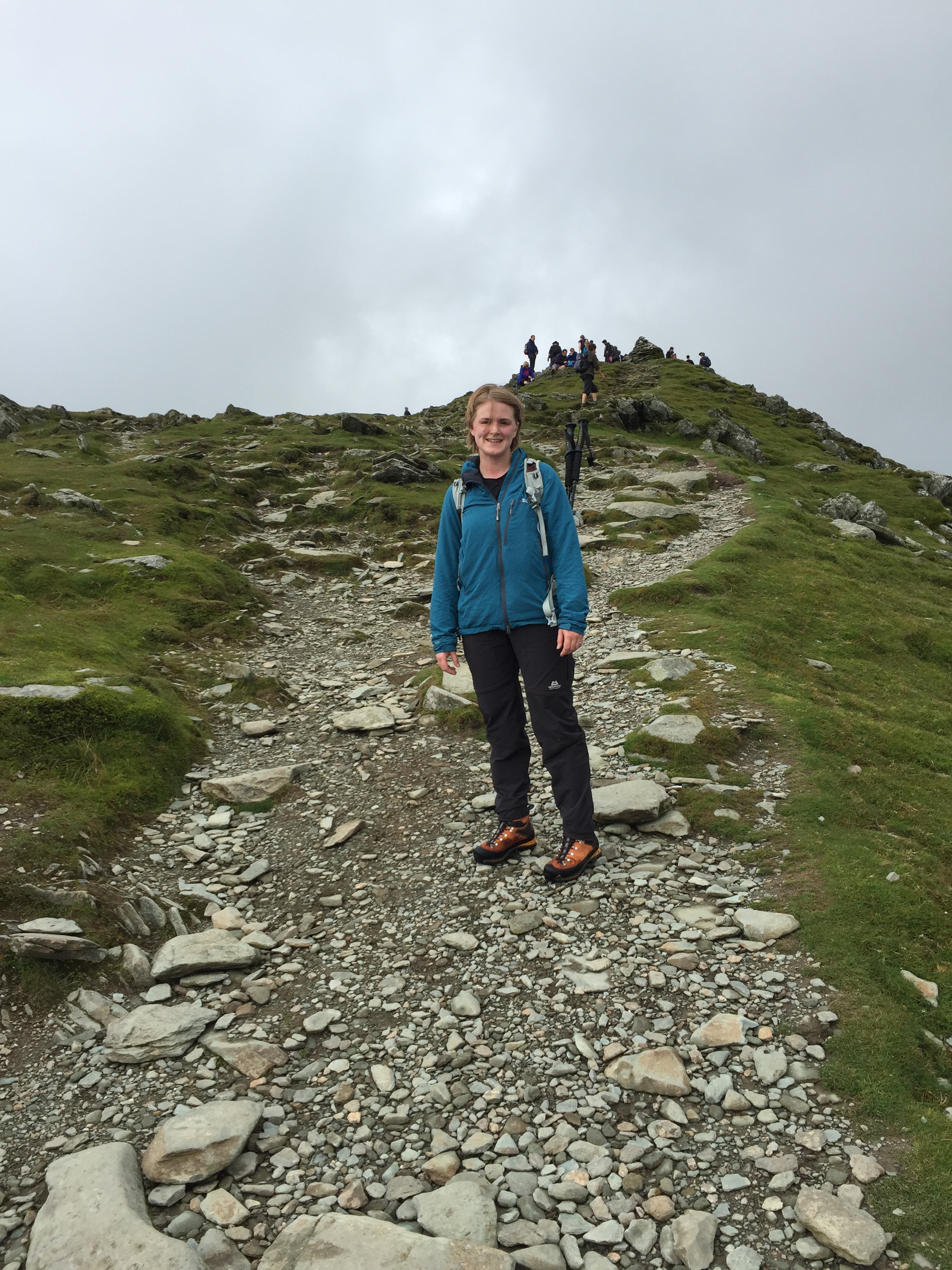
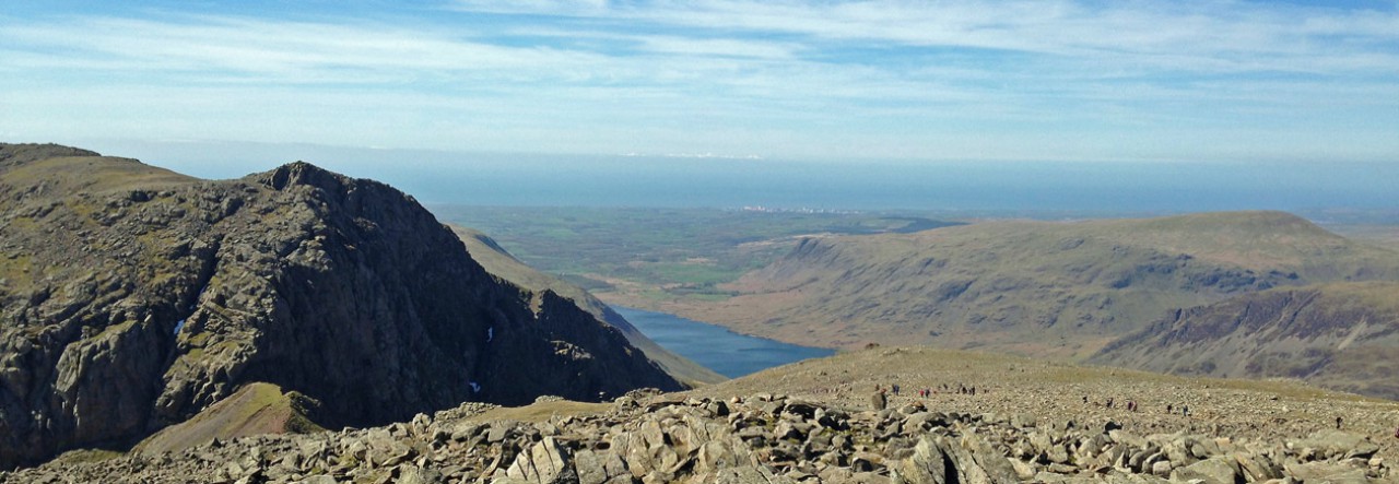
Our direct route paid off and after about 1hr 20 mins we reached the Old Man of Coniston. The top was pretty busy with plenty of groups and families enjoying the views. It was busy, we didn’t linger and headed straight down the main track towards Swirl How.


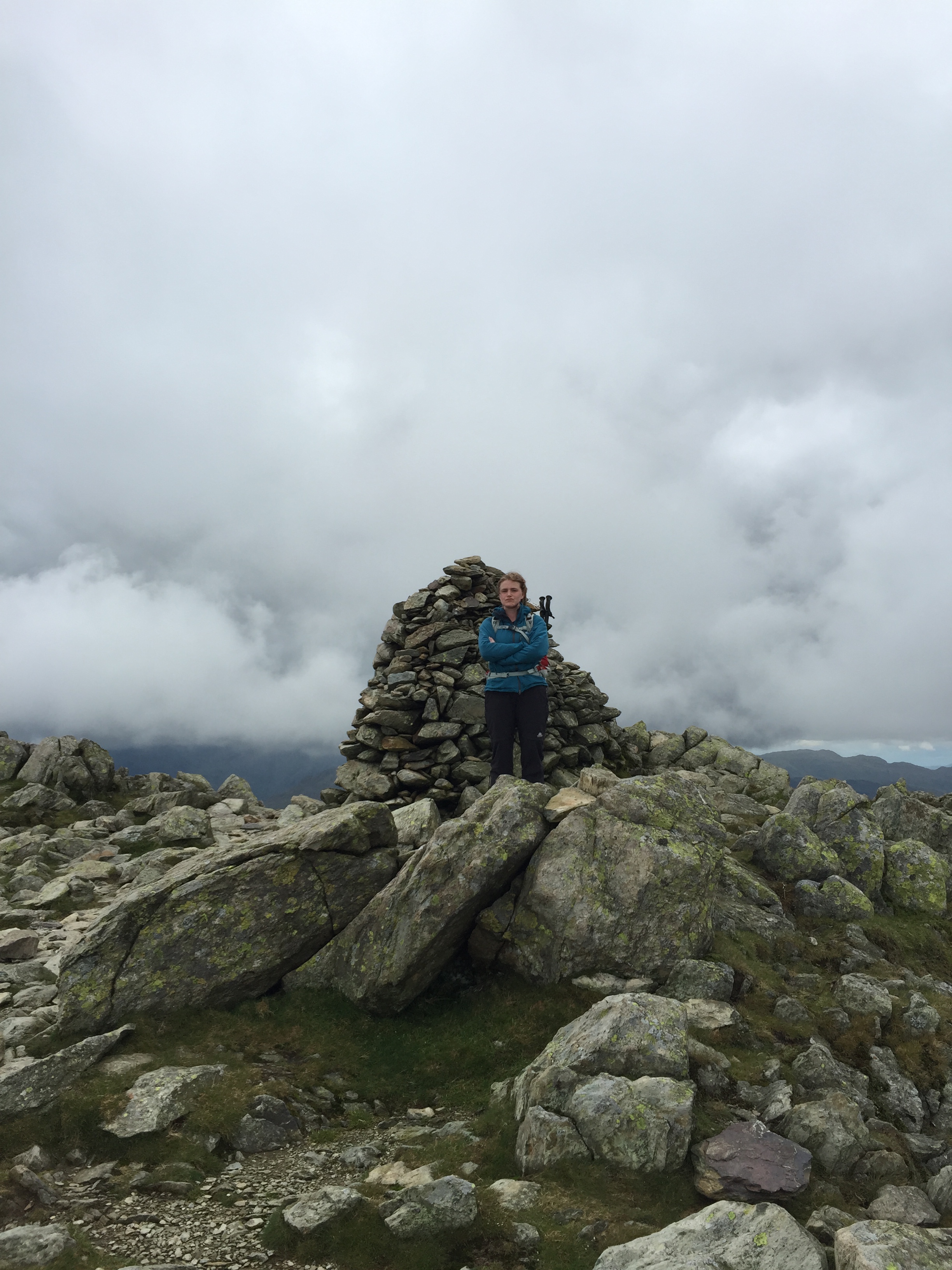
At this point the clagg/fog/cloud set in – which was fine, we walked on a bearing with a rough idea of time. We found the paths coming up to the left and made good time on the way to Swirl How.
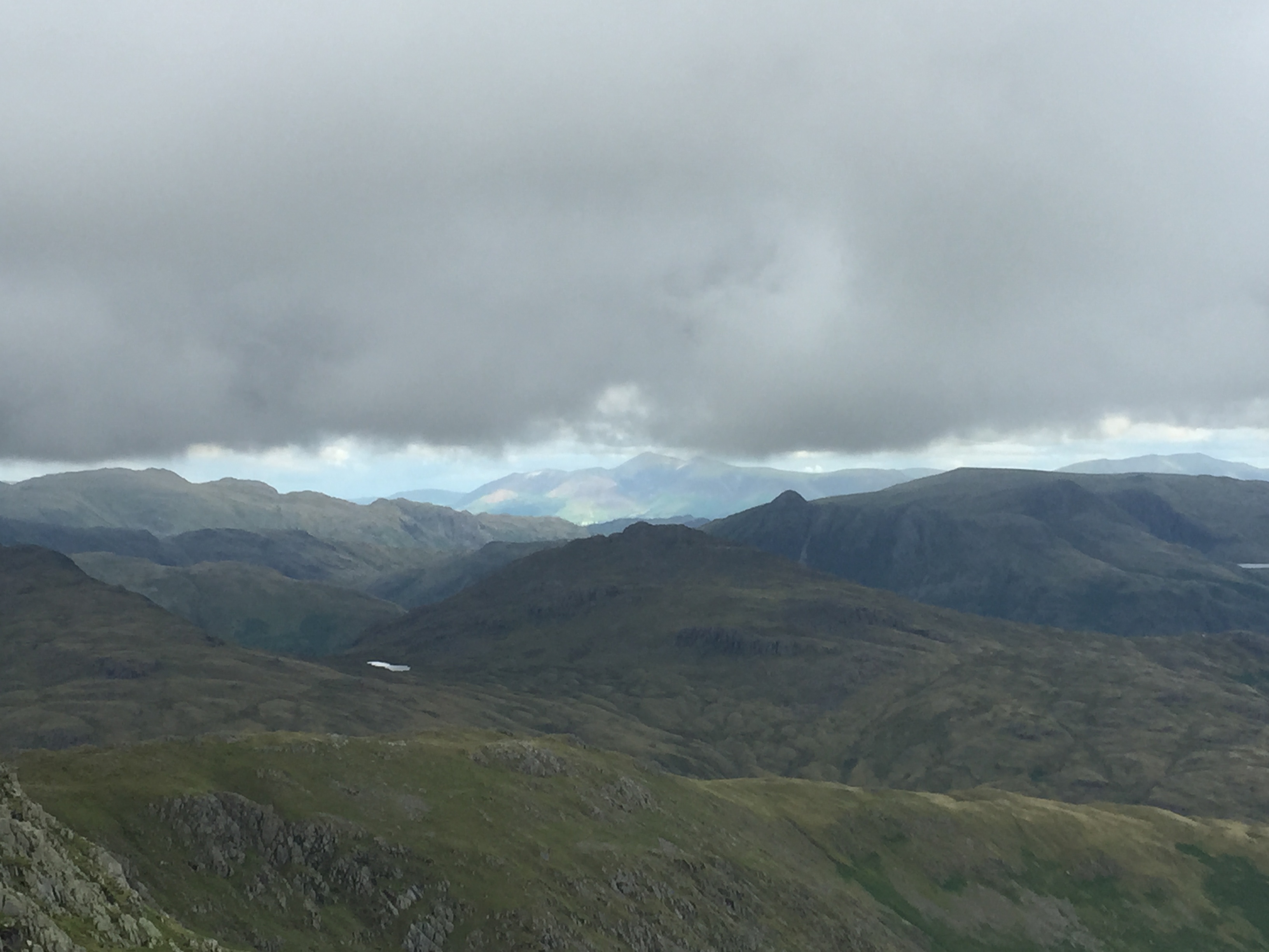
I’ve been up to the Old Man a few times and it was great to see the mountain from this side – an impressive sight and definitely well away from the busy areas. We made our way down to Levers Water which seemed was utterly massive and impressive and then scooted around the reservoir and through boulder alley.
The final bit is easy on the navigation – there were also plenty of people about. Perhaps even a couple of military groups.
Watch outs
Navigating the front of Little Arrow Moor in poor visibility or really bad weather could be nightmarish. There is very little to nav from – but then going up might also be a successful strategy. Can imagine it would be very exposed in strong winds.
Gallery